

Protected natural areas of A Limia
The Veiga de Ponteliñares (a 160 ha SAC in Porqueira and Rairiz), the Baixa Limia – Serra do Xurés Natural Park, the Serra da Pena in Calvos de Randín and the Faramontaos river, with flora, fauna and protection status.
A Limia has several protected natural areas. The data on this page come from the Galician Wikipedia [1][2][3][4].
Veiga de Ponteliñares
This is a 160-hectare Special Area of Conservation (SAC) in the concellos of Porqueira and Rairiz de Veiga, which includes the meadows of the plains along the upper course of the Limia river, south of the former Lagoa de Antela. It forms part of the A Limia Special Protection Area for birds (SPA) and of the Allariz Area biosphere reserve [1]. Its flora is riverside vegetation around the oligotrophic waters of the Limia: hay meadows and woods of alder and ash, heaths of Erica ciliaris and E. tetralix, and in the water Potamogeton natans and Ranunculus penicillatum. The lagoon thistle (Eryngium viviparum), present in very few Galician sites, stands out [1]. There are 23 fauna taxa of interest, including the butterfly Euphydryas aurinia, the Iberian lizard-snake and birds such as the pica campestre, the short-eared owl and the little bustard [1]. It was declared a Site of Community Importance in 2004 (Atlantic region) and 2006 (Mediterranean) and an SAC in March 2014 [1].
Baixa Limia – Serra do Xurés Natural Park
Declared in 1993, it is the largest, wildest and highest Galician natural park; it covers the Laboreiro, Xurés and Pena ranges. It is also an SAC and SPA and the only Galician natural area with Mediterranean-climate flora and fauna. It forms a geographical continuum with the Peneda-Gerês National Park and, since 2009, the concellos of both parks make up the cross-border Gerês-Xurés Biosphere Reserve. It extends across the concellos of Lobeira, Entrimo, Lobios, Muíños and Calvos de Randín [2].
Serra da Pena
It lies at the far south of Calvos de Randín and forms part of the "Baixa Limia-Serra do Xurés" area. It has migmatites, "ojo de sapo" gneiss and an intrusion of two-mica granite; the vegetation includes Pyrenean oak and birch woods, willows, hollies, chestnuts and broom. The summit is the Alto do Candal (1,424 m) [3].
Faramontaos river
Also called the Leborizo river, it rises on the northern slope of the Larouco range, in Vilamaior da Boullosa (Baltar), passes Niñodaguia, forms a small reservoir at Gudín (the boundary between Baltar and Xinzo) and runs across flat ground past Faramontaos and Zos until it flows into the Limia. It is described by Madoz in his dictionary (1847) [4].
Links
Sources
- «Veiga de Ponteliñares», Wikipedia en galego (CC BY-SA 4.0). https://gl.wikipedia.org/wiki/Veiga_de_Ponteliñares
- «Baixa Limia – Serra do Xurés», Wikipedia en galego (CC BY-SA 4.0). https://gl.wikipedia.org/wiki/Baixa_Limia_-_Serra_do_Xurés
- «Serra da Pena», Wikipedia en galego (CC BY-SA 4.0). https://gl.wikipedia.org/wiki/Serra_da_Pena
- «Río Faramontaos», Wikipedia en galego (CC BY-SA 4.0); cita Madoz (1847). https://gl.wikipedia.org/wiki/Río_Faramontaos
You may also like
 Waters of A LimiaLIFE Regenera Limia and the works of the Miño-Sil ConfederationThe European project LIFE Regenera Limia, led by the CHMS, tested how to reduce nutrients in the water of A Limia: fertiliser control, a…
 A Limia, a district of OurenseNature of A LimiaThe nature of A Limia: the Limia or Lethes river, the plain of the Lagoa de Antela, the limiá cattle breed and the Baixa Limia – Serra do…
Ponds and birds of the Lagoa de Antela: the return of the lagoonThe recovered ponds of the former Lagoa de Antela and the 16 species of birds and amphibians listed by the comarca's website, with the…
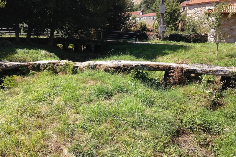 A Limia, a district of OurenseRoutes and trails through A LimiaRoutes and trails through A Limia with sources: Xinzo de Limia in a day, the historic heritage trail, the Roman Via Nova, the Portuguese…
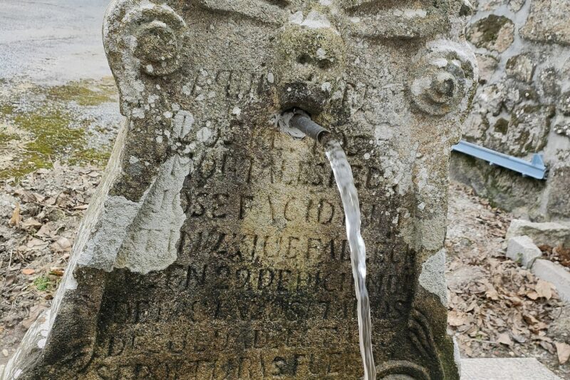 Springs, washhouses and wells of Xinzo de LimiaInventory of the springs, wells, washhouses and waterfall of the concello of Xinzo de Limia, by parish, according to the collaborative…
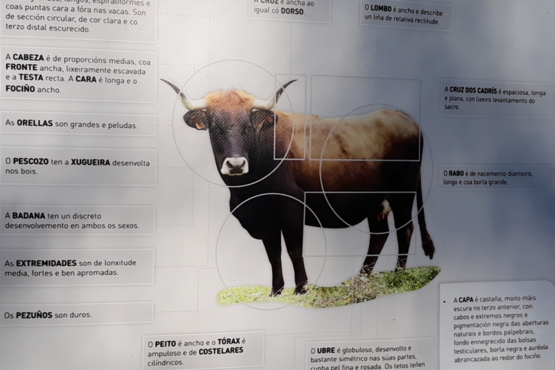 Nature of A LimiaThe cow of A Limia: the limiá cattle breedThe limiá cattle breed is native to Galicia, large and chestnut-coated, with a herd book since 2000; in 2002 there were 136 head in 19…
