
A Limia, a district of Ourense
Eleven concellos in southern Ourense on a plain of almost 802 km²: the Lagoa de Antela, the river Limia, the Entroido of Xinzo, the Festa do Esquecemento and the Romaría da Saínza.

 19562023
The lagoon that vanished
Drag to see the same plain in 1956, with the lagoon, and today.
The 11 municipalities
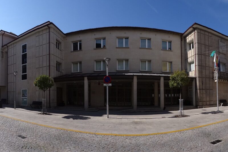 Xinzo de Limia9,699 people · 20 parishes
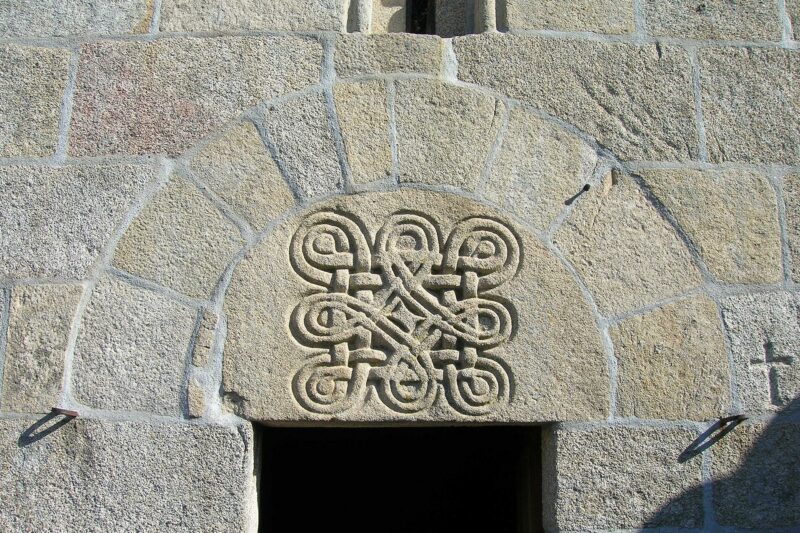 Trasmiras1,216 people · 9 parishes
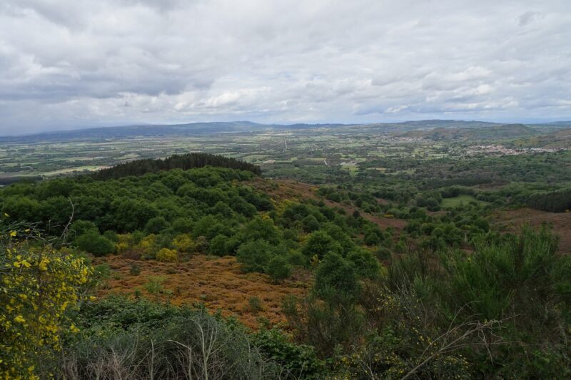 Vilar de Barrio1,178 people · 9 parishes
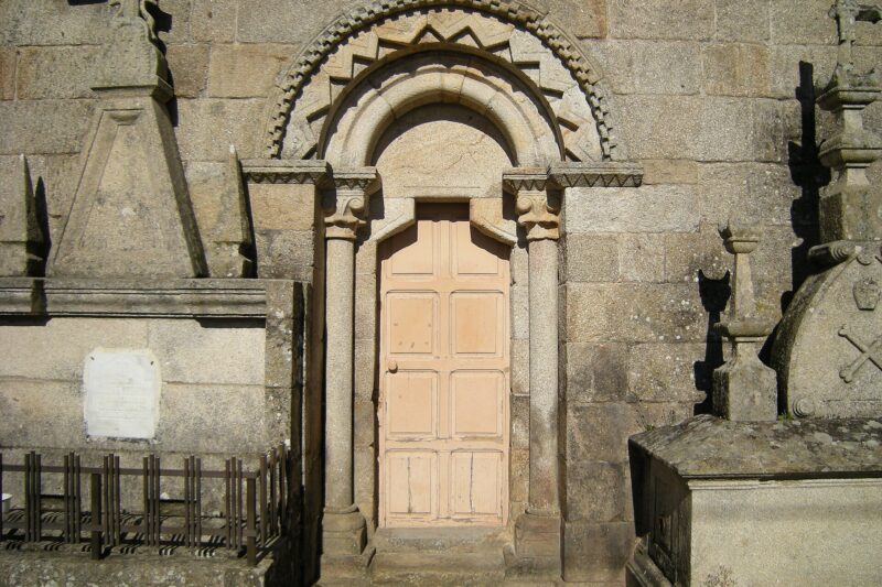 Rairiz de Veiga1,154 people · 8 parishes
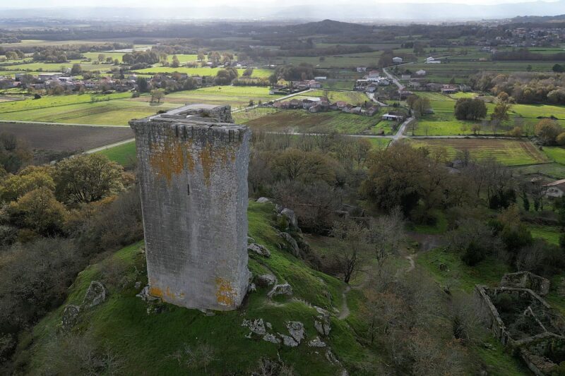 Sandiás1,086 people · 3 parishes
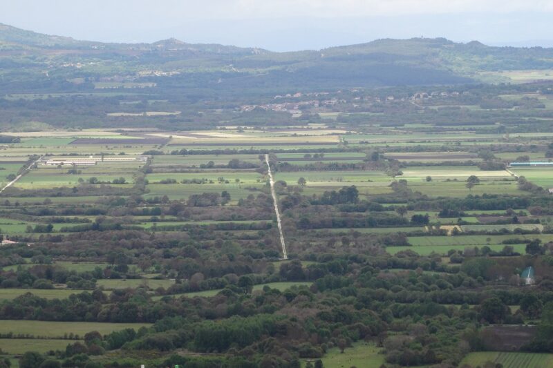 Sarreaus1,068 people · 9 parishes
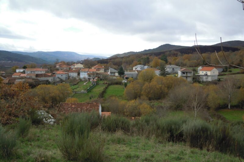 Baltar849 people · 7 parishes
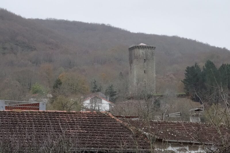 Porqueira806 people · 6 parishes
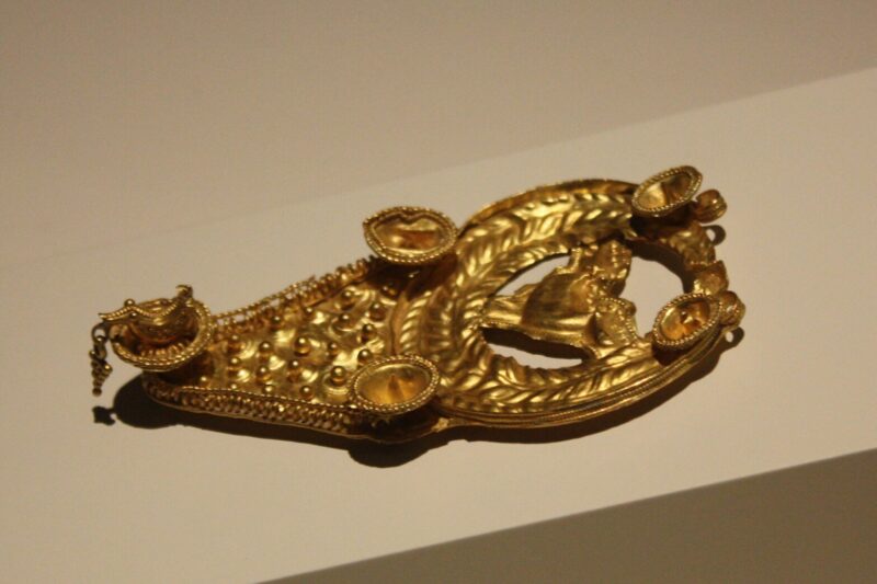 Vilar de Santos784 people · 2 parishes
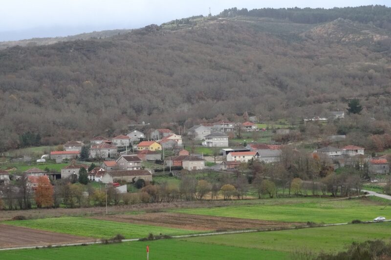 Os Blancos696 people · 7 parishes
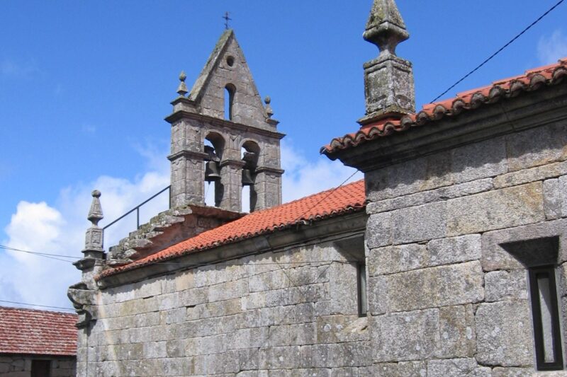 Calvos de Randín650 people · 9 parishes
What would you like to read?
- 54 pages History and memory Two millennia on the plain: hillforts, Romans, medieval towers, the Couto Mixto, the 20th century and the memory of the war.
- 96 pages Notable people Writers, artists, politicians and people from A Limia who left their mark.
- 41 pages Heritage and museums Churches, towers, convents, mills, ovens, ethnographic villages and the museums that tell their story.
- 15 pages Nature and trails Rivers, springs, wetlands and the trails to walk them, from the Camino de Santiago to the viewpoints.
- 13 pages Lagoa de Antela Galicia's largest wetland until 1958: its history, the drainage, the memory and the projects to recover it.
- 24 pages Legends and traditions The stories told in A Limia: Moors, apparitions, drowned cities, customs and curiosities.
- 13 pages Economy and local life The potato, the food, the work and the associations that drive the area.
- 38 pages Festivals and Entroido Entroido, the Festival of Oblivion, pilgrimages and festivals of the area: when they are, where they come from and how they are lived.
Map of the area
© OpenStreetMap contributors
The A Limia comarca (district) lies in the south-centre of the province of Ourense, between the Larouco range and the Portuguese border, with its capital at Xinzo de Limia. Eleven concellos (municipalities) share a plain of almost 802 km² that was once flooded by the Lagoa de Antela and is crossed by the river Limia, the Lethes or "river of Oblivion" of the classical authors [2][4][6].
Location and landscape
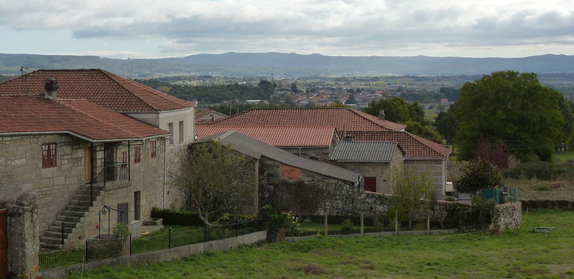
A Limia is one of Galicia’s most distinctive natural districts: a flat-bottomed tectonic basin formed at the end of the Tertiary and filled with sediment during the Quaternary, at an average altitude of about 600 m [4][5]. The plain is closed to the south by the foothills of the Larouco, where Baltar and Calvos de Randín lie, while Vilar de Barrio, in the north-east, opens towards the Maceda basin and the central ranges of Ourense [4].
Xinzo de Limia is a transport hub: the A-52 motorway and the N-525 road both pass through it, about 35 km from the city of Ourense [20][4].
The river Limia
The Limia rises on Mount Talariño, at 975 m, flows through Sarreaus and Xinzo de Limia and on to the Baixa Limia and Portugal, where it is called the Lima, reaching the sea at Viana do Castelo after 108 km [6]. Classical tradition identified it with the Lethes, the river that erased the memory of anyone who crossed it; the Festa do Esquecemento grew out of that legend [6][13].
The Lagoa de Antela
Before it was drained, the Lagoa de Antela was one of the largest freshwater wetlands in the Iberian Peninsula. Attempts to drain it began in 1827 and failed because of local opposition; the Law of 27 December 1956 declared the work "of high national interest", the works began in 1958 and Decree 2336/1962 fixed the final boundaries [9][10]. The loss of the lagoa (lagoon) took with it bird species such as the greylag goose, which stopped breeding anywhere in the Peninsula [9][10]. Estimates of its size vary by source, from 3,244 to about 4,000 ha [9][10]. Part of the plain is protected as the Special Protection Area for Birds ES0000146 "A Limia", in the Natura 2000 network [21].
The San Mamede range
At the north-eastern end, Vilar de Barrio covers the southern slope of the San Mamede range, one of the high mountain massifs of Ourense, whose summit, Fonte do Santo, rises above 1,600 m [19].
The eleven municipalities
Population from the INE municipal register at 1 January 2025 [1], area from Wikidata [2] and number of parroquias (parishes, local territorial units) from the Nomenclátor de Galicia [3].
| Municipality | Population (INE 2025) | Area (km²) | Parishes |
|---|---|---|---|
| Xinzo de Limia | 9,699 | 132.67 | 20 |
| Trasmiras | 1,216 | 56.74 | 9 |
| Vilar de Barrio | 1,178 | 106.70 | 9 |
| Rairiz de Veiga | 1,154 | 72.10 | 8 |
| Sandiás | 1,086 | 52.80 | 3 |
| Sarreaus | 1,068 | 77.29 | 9 |
| Baltar | 849 | 93.99 | 7 |
| Porqueira | 806 | 43.40 | 6 |
| Vilar de Santos | 784 | 20.70 | 2 |
| Os Blancos | 696 | 47.56 | 7 |
| Calvos de Randín | 650 | 97.70 | 9 |
| Total | 19,186 | 801.65 | 89 |
Xinzo de Limia is home to just over half the district’s population [1]. A Limia is also Galicia’s great district of extensive farming, with cereals and potatoes; A Limia potatoes are covered by the Pataca de Galicia Protected Geographical Indication, created in 1996 [4][18].
History in brief
- Prehistory and hillforts. The plain and the hills around it preserve mámoas (megalithic burial mounds), castros (Iron Age hillforts) and legends of cities drowned beneath the lagoon [4][5].
- Roman period. The land belonged to the Limici. The Vía Nova, Roman road XVIII between Bracara Augusta (Braga) and Asturica Augusta (Astorga), crossed the district [7]. Its capital, the Forum Limicorum, is sought at the Cidá of Nocelo da Pena (Sarreaus) or in the town of Xinzo itself, an open debate summarised by Manuel García Valdeiras [8].
- Late Antiquity. An early Christian oratory from the late 4th or early 5th century was excavated at Ouvigo (Os Blancos) [16].
- Middle Ages. The border with Portugal filled A Limia with fortresses: the tower of A Pena (Xinzo de Limia), the Castro tower of Sandiás, torn down by the Irmandiño rebels in 1467, and the tower of A Forxa (Porqueira) [17][22]. In the southern mountains, Meaus (Baltar), Santiago de Rubiás and Rubiás (Calvos de Randín) formed the Couto Mixto, which kept its own privileges until 1868 [15].
- Modern era. The 20th century brought the draining of the Lagoa de Antela, land consolidation and heavy emigration [9].
Culture and festivals
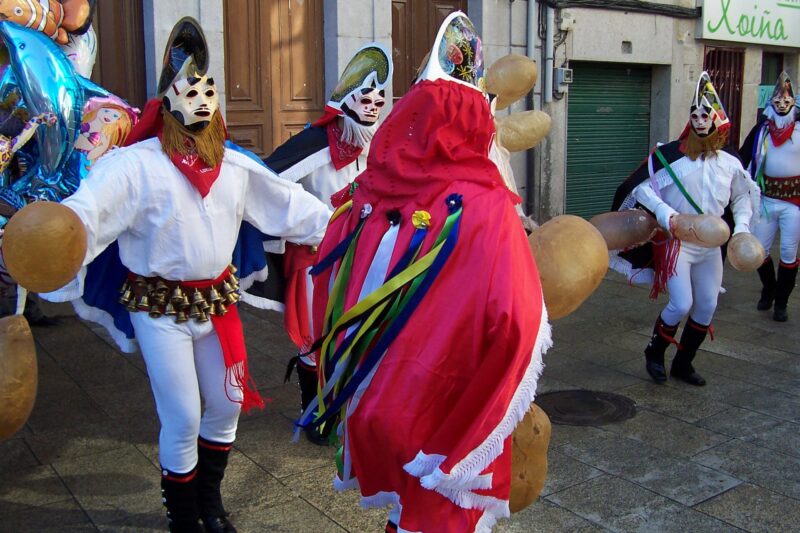
- Entroido of Xinzo de Limia. The Entroido (traditional Galician carnival) of Xinzo, whose emblem is the masked pantalla, is a Festival of International Tourist Interest under the Resolution of 14 January 2019 of the Secretary of State for Tourism, published in the BOE on 12 February 2019 [11]. See Entroido of Xinzo.
- Festa do Esquecemento (Festival of Oblivion). A historical re-enactment of the legions of Decimus Junius Brutus crossing the Lethes, organised by the Civitas Limicorum cultural association in Xinzo since 2001, on the second-to-last weekend of August [12][13]. See Festa do Esquecemento.
- Romaría da Saínza. In Rairiz de Veiga, on the Sunday nearest 24 September, with a battle of Moors and Christians performed since 1840; it is a Festival of Galician Tourist Interest [14]. See Romaría da Saínza.
Explore A Limia
- History of A Limia
- Lagoa de Antela
- Heritage
- Legends
- Festivals of A Limia and festivals month by month
- Notable people
- Associations
- Nature
- Food and economy
- Routes
FAQ
How many municipalities make up A Limia?
Eleven: Baltar, Os Blancos, Calvos de Randín, Porqueira, Rairiz de Veiga, Sandiás, Sarreaus, Trasmiras, Vilar de Barrio, Vilar de Santos and Xinzo de Limia, the capital [4].
How many people live in A Limia?
According to the INE register at 1 January 2025, the eleven municipalities have 19,186 inhabitants in total, 9,699 of them in Xinzo de Limia [1].
What was the Lagoa de Antela?
A large freshwater wetland in the middle of the plain that was drained between 1958 and the early 1960s to create farmland [9][10].
Is the Entroido of Xinzo of national or international tourist interest?
International: the Secretary of State for Tourism granted the title by resolution of 14 January 2019 (BOE of 12 February 2019) [11].
When is the Romaría da Saínza?
On the Sunday nearest 24 September, at the castle field of A Saínza, in Rairiz de Veiga [14].
How do you get to A Limia?
By the A-52 motorway or the N-525, which pass through Xinzo de Limia, about 35 km from Ourense [20][4].
Sources
- INE, Padrón municipal. Cifras oficiales de población de los municipios (table 2885), data at 1/1/2025. https://www.ine.es/jaxiT3/Tabla.htm?t=2885
- Wikidata, items for the eleven municipalities (Xinzo de Limia Q918637, Baltar Q1627554, Os Blancos Q1627544, Calvos de Randín Q777044, Porqueira Q1631352, Rairiz de Veiga Q542228, Sandiás Q910396, Sarreaus Q1607778, Trasmiras Q917185, Vilar de Barrio Q515061, Vilar de Santos Q1643617). https://www.wikidata.org/wiki/Q918637 (CC0)
- Xunta de Galicia / RAG, Nomenclátor de Galicia – Galicia Nomeada. https://galicianomeada.xunta.gal/sixtop/inicio
- "Comarca da Limia", Galipedia (in Galician). https://gl.wikipedia.org/wiki/Comarca_da_Limia (CC BY-SA 4.0)
- "Situación xeográfica", xinzodelimia.eu (c. 2008). http://www.xinzodelimia.eu/situacion_xeografica.htm — Wayback: https://web.archive.org/web/20080101052659/http://www.xinzodelimia.eu:80/situacion_xeografica.htm
- "Río Limia", Galipedia (in Galician). https://gl.wikipedia.org/wiki/R%C3%ADo_Limia (CC BY-SA 4.0)
- Manuel Xusto Rodríguez, Pieza del mes, Museo Arqueológico Provincial de Ourense, January 2009. https://musarqourense.xunta.gal/sites/default/files/doc/peza_mes/2009/1/pm_2009_01esp.pdf
- Manuel García Valdeiras, "O Forum Limicorum", Minius IX, pp. 39–50. https://revistas.uvigo.es/index.php/mns/article/download/2984/2773/5946
- Marcos Pérez Pena, report on the works that made the Lagoa de Antela disappear, eldiario.es, 27/04/2018. https://www.eldiario.es/galicia/obras-hicieron-desaparecer-laguna-antela_1_2150862.html
- Greenpeace, Tres lagunas dossier, 2026. https://es.greenpeace.org/es/wp-content/uploads/sites/3/2026/03/dossier-tres-lagunas_.pdf
- Boletín Oficial del Estado no. 37, 12/02/2019, Resolution of 14/01/2019 of the Secretary of State for Tourism (BOE-A-2019-1912). https://www.boe.es/buscar/doc.php?id=BOE-A-2019-1912
- Concello de Xinzo de Limia, "Festas patronais". http://www.xinzodelimia.es/estaticas/festas-patronais/ — Wayback: https://web.archive.org/web/20170814000751/http://www.xinzodelimia.es:80/estaticas/festas-patronais/
- Edelmiro Martínez Cerredelo, "Informe histórico en que se fundamenta a orixe e motivo da celebración da Festa do Esquecemento", historiadexinzo.wordpress.com, 01/07/2026. https://historiadexinzo.wordpress.com/2026/07/01/informe-historico-en-que-se-fundamenta-a-orixe-e-motivo-da-celebracion-da-festa-do-esquecemento-na-vila-de-xinzo-de-limia/
- Concello de Rairiz de Veiga, "Romaría da Saínza". https://rairizdeveiga.es/gl/feiras-festas/romaria-da-sainza
- Fronteira Esquecida, "Couto Mixto – Meaus". https://fronteiraesquecida.eu/en/fichas/couto-mixto-meaus-4/
- Ana Mª Veiga Romero, Pieza del mes, Museo Arqueológico Provincial de Ourense, September 2003. https://musarqourense.xunta.gal/sites/default/files/doc/peza_mes/2003/9/pm_2003_09_esp.pdf
- Fronteira Esquecida, "Tower of Sandiás (Castro Tower)". https://fronteiraesquecida.eu/en/fichas/tower-of-sandias-castro-tower/
- Agacal (Xunta de Galicia), Ficha técnica IXP Pataca de Galicia, 2019. https://agacal.xunta.gal/sites/default/files/calidade-alimentaria/orixe-vexetal/Ficha_tecnicaIXP_Pataca_de_Galicia2019.pdf
- "Serra de San Mamede", Galipedia (in Galician). https://gl.wikipedia.org/wiki/Serra_de_San_Mamede (CC BY-SA 4.0)
- "Onde estamos", xinzodelimia.com. https://xinzodelimia.com/onde-estamos/
- Diario Oficial de Galicia, notice on the SPA ES0000146 "A Limia", 24/11/2009. https://www.xunta.gal/dog/Publicados/2009/20091124/Anuncio37A0A_es.html
- Concello de Xinzo de Limia, "A Cidade". https://www.xinzodelimia.gal/estaticas/a-cidade.html
