
The castle of A Picoña (Calvos de Randín): the fortress of the Couto Mixto
The castle of A Picoña, on the Outeiro da Almena (Calvos de Randín), was a Portuguese fortress dominating the Couto Mixto and Tourém until its destruction in 1650; only the cistern remains, and the Proxecto Piconha recovered the site.
- Place
- Outeiro da Almena, between Randín and Vilar (Calvos de Randín)
- Altitude
- 932 m
- Sovereignty
- Portugal, until the 1864 Treaty of Lisbon
- Destruction
- 1650, in the Restoration War
- Condition
- Foundation ruins and cistern
The castle of A Picoña (A Piconha in Portuguese) was a fortress on the summit of the Outeiro da Almena, at 932 metres, halfway between Randín and Vilar, in what is now the municipality of Calvos de Randín. It was not Galician: it was the head of the Terras da Picoña, a Portuguese territory that included the Couto Mixto, the village of Tourém and the neutral «privileged road» that linked them [1][2].
History
According to Soares de Azevedo, it was ordered built by Alfonso III of León (866–910), who granted it a charter, confirmed by the Portuguese king Denis in 1287 [1]. More certain is that Sancho I of Portugal granted a charter to San Paio de Picoña in 1187, with the status of a town (vila), a date proposed as that of its construction or reconstruction; in the 12th century it was an important border fortification which, together with the castles of Portelo, Montalegre, Monforte de Río Frío and Chaves, defended the approaches to the Cávado and Tâmega valleys [1][2].
The Castilians razed it around 1388, but John I of Portugal rebuilt it and soon afterwards gave it to his natural son Afonso, the future Duke of Braganza. In 1482 the duchy’s estates were confiscated and it came to be governed by commendatory chief alcaides [1]. In 1650, during the Portuguese Restoration War, Castilian troops demolished this castle along with other neighbouring strongholds, and it was left completely in ruins [1][2]. The district magistrate (oidor) visited the place in 1788 and saw only «um poço con degraus», a well with steps [1].
The chief alcaidía of A Picoña continued to appear in Portuguese documents until 1796, even though the castle was by then on Galician soil; a demarcation record of 1756 says that «fica na Galiza mas é português» [2]. With the Treaty of Lisbon of 1864, the Couto Mixto and the territory of A Picoña passed to Spain [1][2].
What it looked like in 1509
We know what it was like thanks to the Livro das Fortalezas that King Manuel I of Portugal commissioned around 1509 from the squire and draughtsman Duarte de Armas: it contains drawings and plans of 56 Portuguese castles. The keep, which may have replaced an earlier one from the late 14th century, was pentagonal, stood in the centre of the fortification and had its entrance on the second floor, opening onto a wooden bridge resting on a rock of the hill [1].
The Proxecto Piconha
The Concello de Calvos de Randín and the Asociación Couto Mixto promoted a project to recover the medieval archaeological heritage, centred on the castle and financed with European funds through the GDR Limia-Arnoia and with the help of the Axencia de Turismo de Galicia. They surveyed the territory, cleared and cleaned the access routes and the castle, and defined the sectors of the enclosure: rooms, stairs and cistern. Engravings on several rocks, medieval pottery, a coin from the 13th–14th centuries and an iron crossbow bolt-head came to light [1].
Today the foundation ruins survive, with no official classification or archaeological excavation, and only the cistern cut into the rock can be seen [2].
Popular memory
Oral tradition has preserved the castle. In Rubiás, one of the villages of the Couto, it was said that on the hill of A Picoña «there was a castle» and that the king or the chief had been exiled there; at the top there is a basin in the rock in which, they say, the king washed [1].
Frequently asked questions
Where was the castle of A Picoña?
On the Outeiro da Almena, in the parish of Randín, on the path linking Randín with Vilar and Vilariño, east of present-day Tourém, already in Portugal [2].
Why was a castle in Galicia Portuguese?
Because it was the head of the Terras da Picoña, which depended on Portugal and included the Couto Mixto; they passed to Spain only through the Treaty of Lisbon of 1864 [1][2].
What can be seen today?
Foundation ruins and the cistern cut into the rock [2].
Links
Sources
- Alexander de los Ríos Conde, «A Picoña (o A Piconha): la antigua fortaleza del Couto Mixto», Vía Lethes, 11-12-2016. https://vialethes.es/picona-fortaleza-couto-mixto
- «Castelo da Picoña», Galipedia (CC BY-SA 4.0). https://gl.wikipedia.org/wiki/Castelo_da_Picoña
You may also like
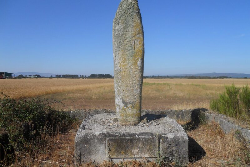 HeritageA Pedra Alta or Pedra Grande de Antela: the menhir of the LagoaThe Pedra Alta is a 3.47 m granite menhir in the heart of the former Antela lagoon, a boundary marker between Xunqueira de Ambía, Sarreaus…
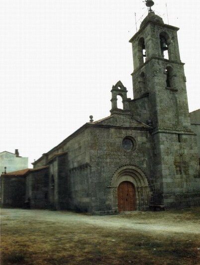 Heritage of A Limia: towers, convents, mills and ethnographic villagesA tour of the historic heritage of the municipality of Xinzo de LimiaA summary of the historic heritage of Xinzo de Limia: the Romanesque old church, the churches of Novás and Morgade, Torre da Pena, the Bon…
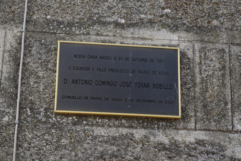 Antón Tovar Literary Competition of the Museo da LimiaSince 2024 the Board of the Museo da Limia has called the Antón Tovar Literary Competition to honour the poet of A Pereira and to demand…
Churches and chapels of the parishes of Xinzo de LimiaIndex of the parish churches and chapels recorded in each of the 20 parishes of Xinzo de Limia, with their dedication, according to…
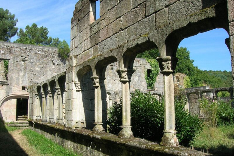 Convento do Bon Xesús da Limia (Trandeiras): the BIC fileThe Convento do Bon Xesús da Limia, in Trandeiras (Xinzo de Limia), was built in the early 16th century; the Xunta has opened the procedure…
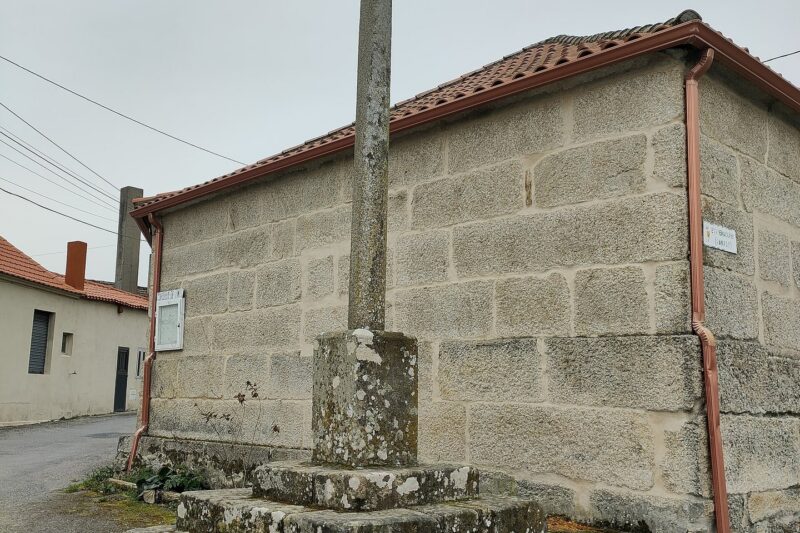 Cruceiros and petos de ánimas of A LimiaInventory of the 158 calvary crosses, crosses, calvaries and petos de ánimas of A Limia by municipality and parish, according to Galicia…
