
The extinction of the Couto Mixto: the 1842 file and the negotiations of the 1864 Treaty
How the end of the Couto Mixto was decided according to Jacobo García Álvarez: the 1842-1845 file, tobacco, the Fontán and Castro maps, the Joint Boundary Commission from 1854 and the partition proposals up to the 1864 Treaty.
- Main source
- García Álvarez, BAGE no. 82 (2019)
- File
- 1842-1845
- Joint Boundary Commission
- from October 1854
- Treaty
- Lisbon, 29 September 1864
The end of the Couto Mixto was no accident: it was the result of a diplomatic negotiation lasting over a decade. Jacobo García Álvarez analysed in 2019, with Spanish and Portuguese sources, the process leading to the Treaty of Limits of 1864, and this summary gathers the data that best help to understand the Couto in its last years. The general history is in History of the Couto Mixto and the 1868 handover in The handover of the Couto Mixto to Spain [1].
The 1842-1845 file and tobacco
On 11 January 1842 Espartero’s Regency ordered the political chief of Ourense, José Antonio de Gatell, to draw up a file on "the state and privileges" of the Couto. It was triggered by a complaint from the customs administrator of Montalegre seeking to uproot the Couto’s tobacco plantations, which, he said, entered Portugal and Spain without control. The right to plant tobacco for own consumption had been confirmed by an agreement of 21 October 1819 between the authorities of both kingdoms and the Couto’s judge. In 1844 his successor Manuel Feijoo extended the file, and in April 1845 a report from the Ministry of State proposed abolishing the privileges and annexing the Couto to Spain, even recommending occupying it by force to compel a negotiation. The opinions gathered were very negative about the inhabitants ("a den of criminals", according to a police commissioner of Bande) and described the Couto as a "republic located in Spanish territory", which served as the argument for its extinction twenty years later [1].
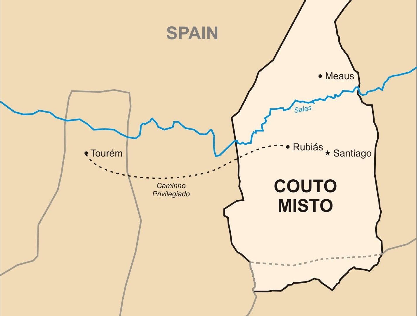
The mayor of Calvos de Randín, José Manuel Tejada, summarised the status in the file: they depended spiritually on the diocese of Ourense, like Tourém; nobody could be arrested on the path to Portugal for goods they carried; they were subject to the judge they elected, confirmed by the magistrate of Bragança; in civil matters the "Portuguese" depended on Bragança and in criminal matters on Montalegre, and the Spaniards on Calvos de Randín (Santiago and Rubiás) or Baltar (Meaus); anyone could declare the house they built Spanish or Portuguese; they gave no soldiers and paid no taxes, only a fixed fee the Spaniards called alcabala and the Portuguese sisa [1].
The maps and the 1862 data
The file produced the first plan specific to the mixed villages, by Alejo Andrade (1842). By contrast, Domingo Fontán’s Carta Geométrica de Galicia (1845) shows Rubiás, Santiago and Meaus and indicates their "mixed" character, but marks neither the Couto’s limits nor its name, so it seemed surrounded by Spanish territory, and the Joint Commission used it until it became a matter of dispute. Commander José de Castro López, an officer of the Spanish section of the Boundary Commission, left in 1862 an unpublished report, «Observaciones sobre el Coto Mixto y Manga de Torey» (quote), with data on each village: Meaus, 60 households and 482 ha; Santiago, 90 households and 835 ha; Rubiás, 100 households and 1,188 ha, in all 250 households, half Spanish and half Portuguese, who could change nationality by notifying the judge. According to Castro they lived from farming and cattle, with no industry; trade was concentrated in Meaus, with five shops of contraband goods (Portuguese salt, cotton cloth and iron), and the Couto suffered overpopulation because marriages were made among themselves to avoid losing the benefits. Brandón, the penultimate judge, estimated about a thousand inhabitants in 1862-1864 [1].
A territory of jurisdictions, not lines
The study describes the Couto as a "border of jurisdictions, not of lines": the privileges included the freedom to choose and change nationality, exemption from almost all taxes and from military service, its own judge every three years, the right of asylum (except for serious crimes), freedom of arms and of trade within the Couto and the privileged path of about 6 km to Tourém, where fiscal agents could not act. Many privileges came from the 1518 concord ruling between Braganza and Monterrei. To arrest an accused person in a street, officers of both kingdoms had to be present, and in houses only the justice of the kingdom under which the house had been declared; Madoz tells that part of a house was sometimes assigned to Spain and part to Portugal to hinder the process. The 1819 agreement had ordered houses marked with an "E" or a "P", but according to the judge Brandón it was only observed in 1842-1843 for two or three years, because the neighbours rubbed out the letters [1]. See The Couto Mixto in the sources and historiography.
The Joint Commission and the five proposals
In October 1854 Portugal and Spain created a Joint Boundary Commission for the border from the Miño to the confluence of the Caya and Guadiana; negotiations on the Couto began in August 1856, when it first visited the area, and the two governments dealt together with the Couto and the promiscuous villages (Soutelinho, Cambedo and Lamadarcos), three villages split by the border, totalling 1,906 ha and about 231 households (162 on the Portuguese side and 69 on the Spanish). The article identifies five partition proposals [1]:
- Portuguese (August 1856): divide the Couto along the river Salas, with Meaus (to the north) for Spain and Santiago and Rubiás (to the south) for Portugal; assign the promiscuous villages to the kingdom with more houses, with 50 m left unbuilt on each side of the line.
- Spanish (December 1856 and November 1858): accept the sharing of the promiscuous villages only if Portugal renounced all rights over the Couto, which would remain entire in Spain, as it was enclaved in Ourense and Braganza’s feudal rights had lapsed. Portugal held to the division along the Salas and in March 1860 sent documentation and a plan to prove the alleged error in Fontán’s map.
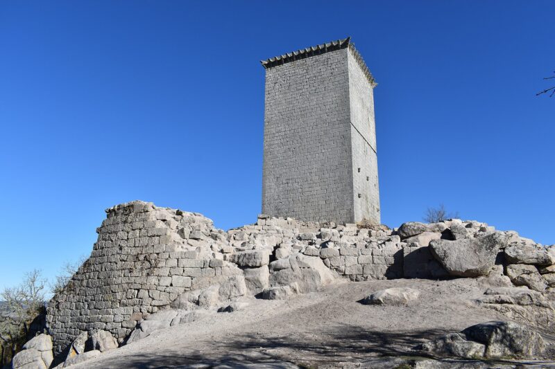
- Vasconcelos (1860, 1862 and October 1863): the Portuguese military engineer wavered. In 1862 he proposed a straight line from the Bancelos pass via Picoña castle to Tourém, so the three villages stayed in Spain but Portugal would receive part of the southern lands and two Randín villages (Vilar and Vilariño); in October 1863 he proposed giving Rubiás (1,479 ha) to Portugal and Meaus and Santiago (1,290 ha) to Spain, and all the promiscuous villages to Portugal.
- Castro López (1862-1863): the Couto could not be divided rationally from east to west, because the lands run north to south from the Salas valley up to the hills; only, "if absolutely necessary", would he cede to Portugal the 334 ha of pastures on the Arandela range that Padroso and Sabuzedo livestock already used "jointly". He warned that Vasconcelos’s proposal would deprive Randín of land and irrigation dams.
- The one adopted in the 1864 Treaty: Spain received the Couto Mixto and Portugal the promiscuous villages; the final stages of the negotiation and the 1868 handover ceremony are in The handover of the Couto Mixto to Spain.
What this case teaches
García Álvarez reads the Couto’s disappearance as an example of the imposition of modern state territoriality on the border: linear borders in place of jurisdictions, exclusive sovereignties in place of hybrid ones, and cartography and statistics as State tools. The reports of the time treat the inhabitants with very harsh images, but the author notes these are discourses of central powers legitimising the annexation. He also stresses the importance of tobacco and smuggling as triggers and recalls that recent Galician literature (Méndez Ferrín, Riveiro Coello) and the works of García Mañá revived the Couto’s memory [1].
Links
- History of A Limia
- History of the Couto Mixto
- The handover of the Couto Mixto to Spain (1868)
- The Couto Mixto in the sources and historiography
- Calvos de Randín
Sources
- García Álvarez, Jacobo: «Geopolíticas de la territorialidad moderna: el Tratado hispano-portugués de Límites de 1864 y la extinción del Couto Mixto (1840-1868)», BAGE. Boletín de la Asociación Española de Geografía, n.º 82, 2019. https://dialnet.unirioja.es/servlet/articulo?codigo=7042569
You may also like
 History of A LimiaPrehistory and castros of A LimiaFrom the Pedra Alta de Antela to the castro of Bóveda: megaliths, the Roufeiro weapons, the Outeiro de Baltar and the gold earring of Vilar…
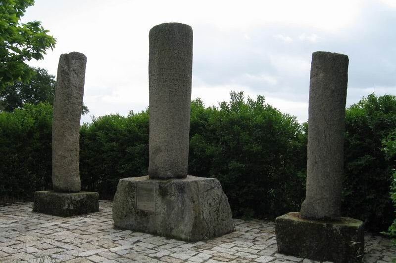 History of A LimiaThe Limici in Roman inscriptions: Celer’s gladiatorial tessera and Corellius LimicusTwo epigraphic pieces outside A Limia that mention a "Limicus": the bronze gladiatorial tessera from Niebla (Huelva), of the 1st century,…
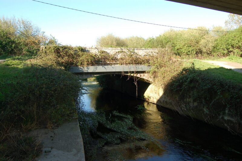 History of A LimiaThe battle of the Xinzo bridge (23 February 1809)On 23 February 1809 farmers, abbots and friars of A Limia, poorly armed, tried to stop Soult's French vanguard at the Xinzo bridge; they…
History of A LimiaThe Limici and Romanisation: Civitas, Forum Limicorum and Via NovaWhat is known of the Limici and Roman Limia: the Civitas Limicorum, the debate over where the Forum Limicorum stood (A Cidá of Nocelo da…
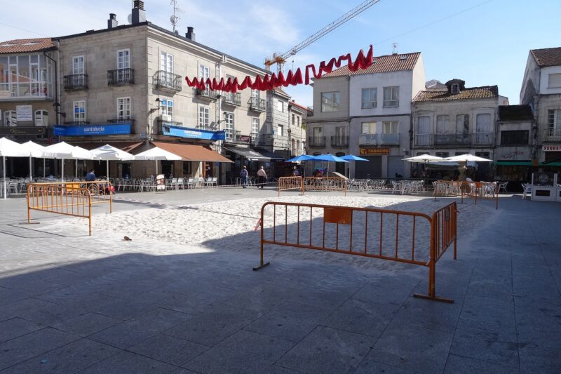 History of A LimiaThe Praza Maior, the Ladeira and the Toural: history of Xinzo’s central placesHistory of the Praza Maior (fairs since the 16th century, the 1907 Espolón, the fountain), the Ladeira and the Toural (the lagoon, the…
History of A LimiaLight, chocolate, fizzy drinks and roads: the industrial and service Xinzo of the 20th centuryHow electricity (1911), the printing press, chocolate and soda factories, the Rubio Cold-Storage Slaughterhouse and buses to Ourense and…
